


- EOL

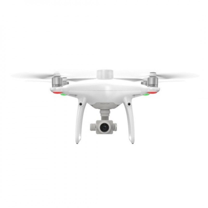


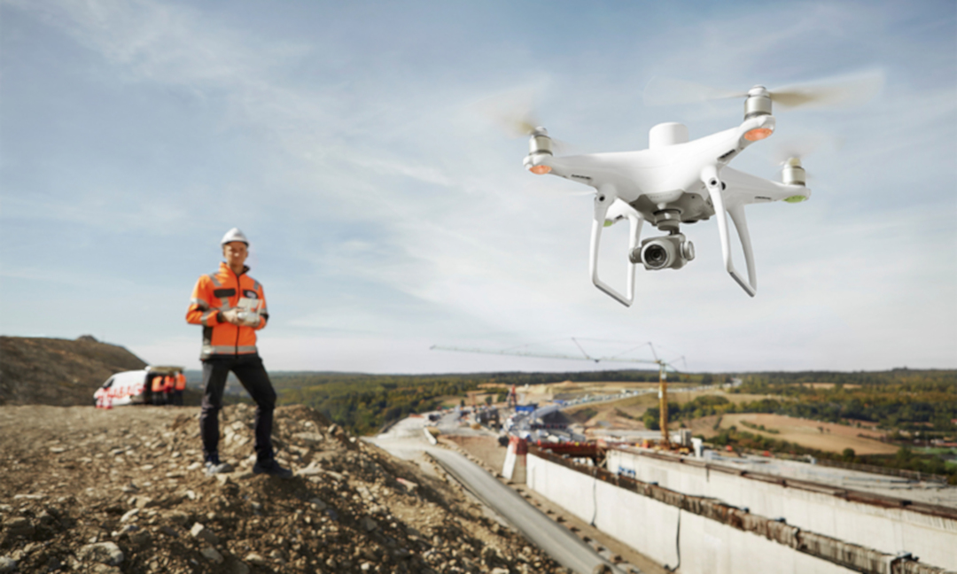
The DJI Phantom 4 RTK drone is the first drone in the DJI Enterprise segment, and thanks to the RTK module, a centimetre accurate positioning system, it allows for accurate land mapping. It connects via 4G or WiFi. It allows storing satellite observation data. It is equipped with GPS, gimbal and a 20 MPx camera. Flight time is 30 min, maximum range is 6 km.
|
Attention! The product has been discontinued. Check other products incategory. |
The DJI Phantom 4 RTK droneis the first drone in theDJI Enterprisesegment, thanks to theRTKmodule - acentimetre accuratepositioning system,allows for accurate mapping of the terrain at low altitude, it isthe most compactdevice for this type of work. It connects to a network of reference stations via a 4G dongle or WiFi hotspot. It allows to store satellite observation data and use themin PPK process (Post-ProcessedKinematic -an alternative technique to RTK - accurate positioning does not occur in real time, the algorithms are used later). Dron is equipped with GPS module, gimbal and 20 MPx camera. The flight time is 30minutes andthe maximum range is 6 km.
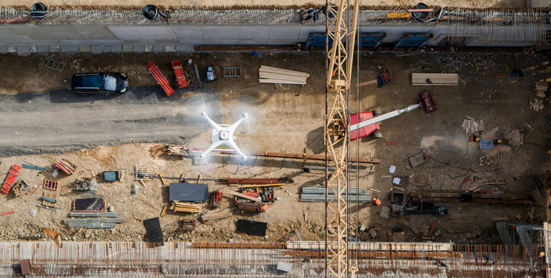
The RTK moduleintegrated in the drone provides real-time positioning data with centimetre accuracy to improve the accuracy of image metadata. TheGNSS moduleis installed to maintain flight stability in the field with poor signal quality, e.g. in highly populated cities. The combination of these two modules providesoptimized flight safety andsimultaneous collection of precise data for geodesy, terrain mapping or inspection purposes.
Phantom 4 RTK has the ability to adapt to any task thanks to several connection options:
High quality positioning system.
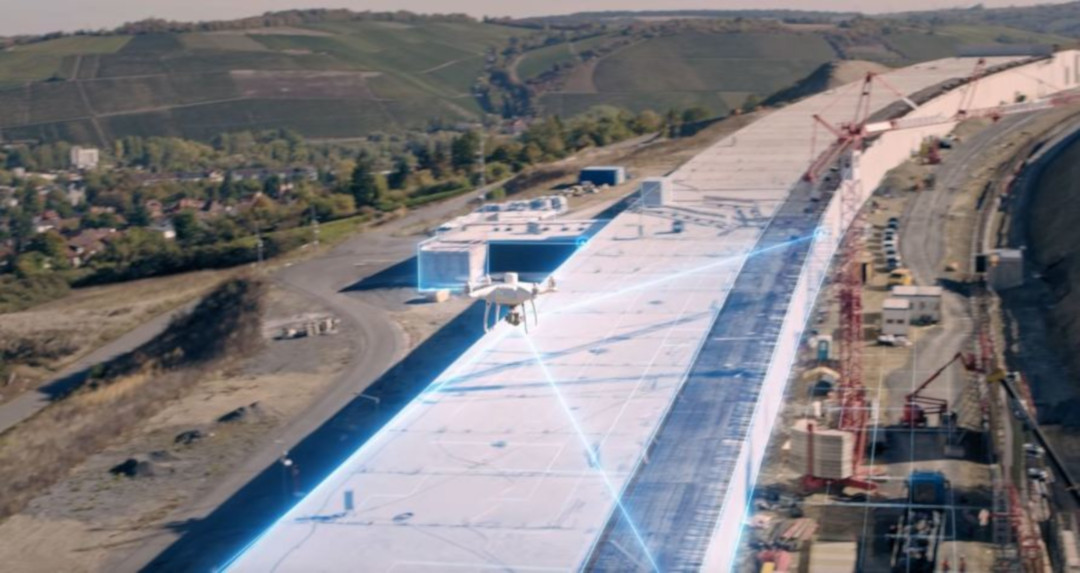
The DJI Phantom 4 RTK Dron DJI Phantom is equipped with anew TimeSync system, which has been created tomake it easier to position the flight controller,cameraand RTK module inreal time. TimeSync ensures the use of the most accurate photo metadata and corrects the positioning data in the centre of the sensor, optimising the results toachieve centimetre accuracy ofthe positioning data.
TimeSync technology in DJI Phantom RTK.
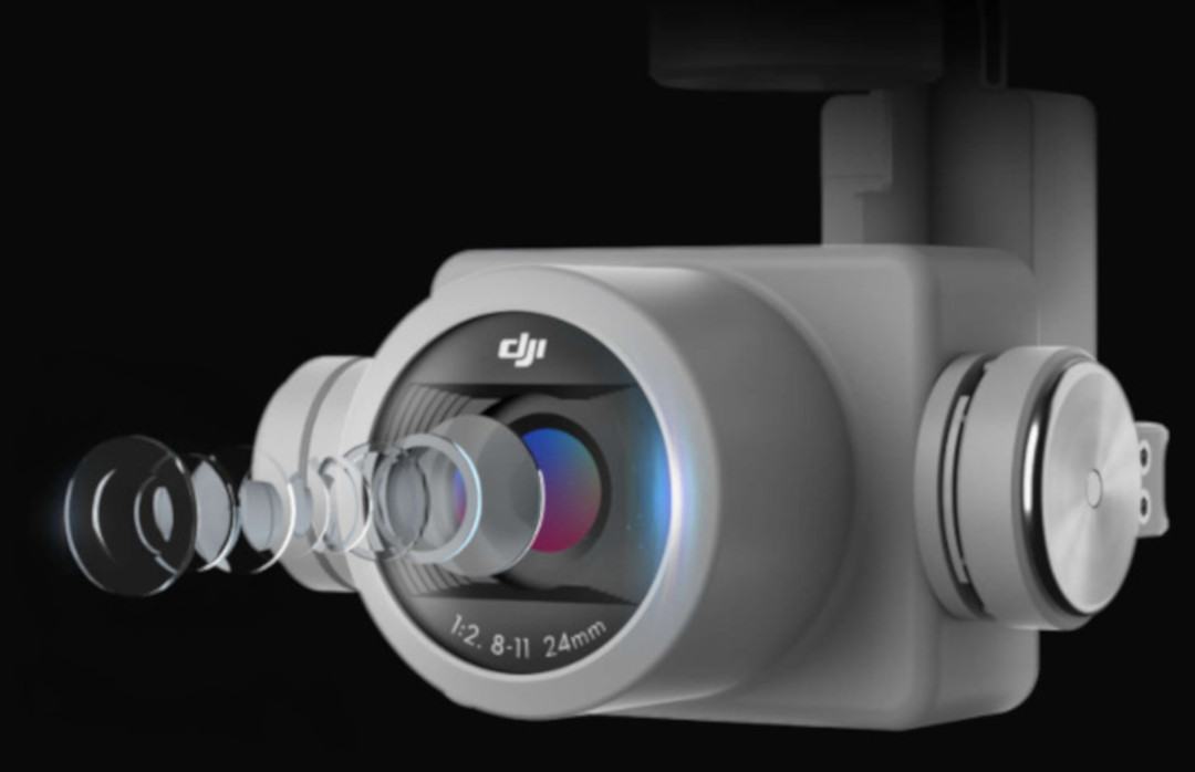
The drone is equipped witha 1-inch, 20 megepixel CMOS sensor. Mechanical shutter allows you to map the area without visible seams, the photos are devoid of the rolling shutter effect. Phantom 4 RTK can reach terrain pixel size (GSD) of 2.74cm at 100 m height.To ensure unprecedented accuracy, each unit undergoes a rigorous calibration process, during which the optical distortions are measured. The distortion parameters are stored in the metadata of each image, allowing the processing software to adapt the image to the requirements of the specific customer.
Precision sensor in DJI Phatnom 4 RTK.
Experienced users can access the world's leading ecosystem of DJI Phantom 4 RTK applications using the SDK. Acompatible Android or iOS device can be connectedto the controller and any compatible application supporting DJI Mobile SDKcanbe installed to fully exploit the potential of the Phatnom 4 RTK drone.

DJI Phantom 4 RTK version SDK.
TheOcuSync transmission systemused in the DJI Phatnom 4 RTK drone allows forstable and reliable transmission of imageswith a range of up to 5 km (in an area free from interference, CE).
OcuSync system in DJI Phantom 4 RTK.
| General | |
|---|---|
| Starting mass | 1391 g |
| Diagonal | 350 mm |
| Max. ceiling asl | 6000 m |
| Max. climbing speed |
6 m/s (automatic flight) 5 m/s (manual check) |
| Max. falling speed | 3 m/s |
| Max speed |
50 km/h (P-mode) 58 km/h (A-mode) |
| Max flight time | About 30 minutes. |
| The work pace | from 0°C to 40°C |
| Frequency | from 2,400 GHz to 2,483 GHz |
| Transmission Power (EIRP) |
2.4 GHz CE: < 20 dBm |
| Suspension accuracy |
RTK enabled and working properly:
RTK off:
|
| Image Positioning | The position of the camera's focal point depends on the center of the built-in D-RTK antenna at a point in the coordinates from the focal point (x = 36, y = 0, z = 192 mm), this position is already superimposed on the image coordinates in the Exif data (x - axis forward, y - axis right, z - axis down). |
| Mapping functions | |
| mapping accuracy** | Mapping accuracy meets ASPRS accuracy standards for Class III** digital orthophotomaps proper accuracy is dependent on lighting conditions and mapped surfaces, flight height, software used and other factors |
| Terrain pixel size (GSD) |
(H/36.5)cm / pixel, H: ceiling in metres from the mapped ceiling. |
| Effectiveness of obtaining data |
Max. area - approx. 1 km2 per flight (at a height of 182 m, GSD approx. 5 cm / pixel, ASPRS accuracy standards met for Class III digital orotophotomaps) |
| Optical positioning system | |
| Permissible speed | ≤ 50 km/h by 2 m above the ground, good lighting |
| Detection height | from 0 m to 10 m |
| Detection distance | from 0 m to 10 m |
| Scope of obstacle detection | 0.7 m to 30 m |
| Field of vision (FOV) |
Front / rear sensor: 60° (horizontal), ± 27°(vertical) Bottom sensor: 70° (front - back), 50° (left - right) |
| Frequency of measurement |
Front/rear sensor: 10 Hz Bottom sensor: 20 Hz |
| Working environment | Clearly textured surfaces, good lighting (>15 lux) |
| Camera | |
| Sensor |
1" CMOS, effective pixels: 20 MPx |
| Optics |
FOV 84°; 8..8 / 24 mm (35 mm, equivalent: 24 mm) f/2.8 to f/11 auto focus from 1 m to ∞ |
| ISO range |
Video:
Photo:
|
| Mechanical shutter speed |
8 to 1 / 2000 s |
| Electronic shutter speed |
8 to 1 / 8000 s |
| Max. image size |
4864 x 3648 px (4:3) 5472 x 3648 px (3:2) |
| Video recording |
H.24, 4K: 3840 x 2160 px / 30 fps |
| Photo format |
JPEG |
| Video format |
MOV |
| Supported file systems |
FAT32(≤ 32 GB) exFAT (>32 GB) |
| Supported SD cards |
microSD, Maximum capacity: 128 GB Class 10 or UHS-1 Required write speed: ≥15MB/s |
| The work pace |
from 0°C to 40°C |
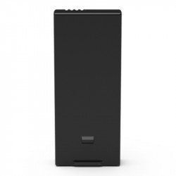
| Battery PH4-5870MAH-15.2V | |
| Capacity | 5870 mAh |
| Voltage | 15,2 V |
| Battery type | Li-Pol 4S |
| Energy | 89.2 Wh |
| Mass | 468 g |
| Charging temperature | from -10°C to 40°C |
| Max. charging power | 160 W |
| GNSS | |
| Single frequency, GNSS module |
GPS + GLONASS |
| Frequency used |
GPS: L1/L2, GLONASS: L1/L2 |
| Time of establishment of the connection |
< 50 s |
| Positioning accuracy |
upright: 1.5 cm + 1 ppm horizontally: 1 cm + 1 ppm 1 ppm means 1 mm of permissible error for each km of speed of the device (average value) |
| Gimbal | |
| Stabilization | 3-axis (tilt, roll, yaw) |
| Pitch | from -90° to 30° |
| Max. rotation speed | 90°/s |
| Angular vibration range | ± 0,02° |
| Infrared | |
| Range of obstacle detection | 0.2 m to 7 m |
| Field of vision (FOV) |
70° horizontally ± 10° vertically |
| Frequency of measurement | 10 Hz |
| Working environment | Reflective surface of diffuse signal, reflection factor > 8% (walls, people, trees, etc.) |
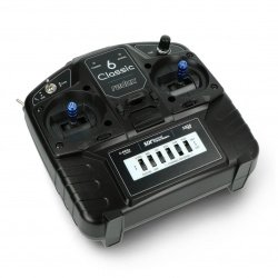
| Control equipment | |
| Frequency of operation | 2,400 GHz to 2,483 GHz |
| Transmitter power (EIRP) |
2.4 GHz CE: < 20 dBm |
| Max. transmission range | CE: 5 km (open area, free of disturbances) |
| Electricity demand | 16 W (average) |
| Display | No |
| The work pace | from 0°C to 40°C |
| Charger PH4C160 | |
| Voltage | 17,4 V |
| Rated power | 160 W |
Useful links |
| Drone - Range | 6000 m |
| Drone - Camera | yes |
| Drone - Flight time | 30 min |
| Drone - FPV preview | yes |
| Package width | 0.1 cm |
| Package height | 0.1 cm |
| Package depth | 0.1 cm |
| Package weight | 0.1 kg |
Be the first to ask a question about this product!


